Background & Context
Health challenges at the human–animal–environment interface are deeply shaped by geography, ecosystems, climate variability, land use, mobility patterns, population distribution, and the dynamics of interaction between humans, animals, and their environment. In this context, Geographic Information Systems (GIS) have become indispensable tools for understanding complex health events and supporting evidence-based decision-making within a One Health framework.
Applied GIS enables professionals to organize, visualize, and analyse spatially explicit information in order to identify disease hotspots, explore environmental and socio-ecological risk factors, map outbreaks, and strengthen preparedness, surveillance, and response systems. When combined with spatial epidemiology and ecological niche modelling, GIS also offers powerful approaches for anticipating areas of heightened risk and guiding targeted interventions.
This course introduces participants to the practical application of GIS for One Health, with a strong emphasis on disease mapping, spatial analysis, risk interpretation, and introductory predictive modelling. It is designed to bridge technical tools and operational decision-making, using real-world health questions and applied examples relevant to public health, animal health, environmental management, and disaster preparedness. Practical sessions will rely primarily on open-source or freely accessible tools, including QGIS, R/RStudio, and MaxEnt, in order to promote reproducibility, accessibility, and continued use beyond the course.
Objectives
By the end of this course, participants will be able to:
- Understand the role of GIS in One Health preparedness, prevention, detection, surveillance, and response
- Explain key concepts in geomatics, spatial epidemiology, and geospatial health analysis
- Identify and organize relevant spatial and non-spatial datasets for disease mapping and risk analysis
- Use GIS tools to visualize, analyse, and interpret disease distribution and environmental risk patterns
- Apply basic geoprocessing techniques to support health intelligence and decision-making
- Understand how climate, ecosystems, land use, and mobility influence disease occurrence and spread
- Explore the principles and practical value of ecological niche modelling for health risk prediction
- Conduct introductory spatial analyses and suitability mapping using QGIS, R/RStudio, and MaxEnt
- Communicate geospatial findings in a form that supports policy dialogue, surveillance planning, and operational action
Target Audience
This course is intended for students, researchers, and professionals working across the One Health spectrum, including public health, veterinary medicine, epidemiology, environmental sciences, wildlife health, disaster preparedness, geography, and data analysis. It is particularly relevant for participants interested in strengthening their capacity to use spatial tools for disease surveillance, outbreak investigation, risk assessment, and strategic planning.
Recommended Readings
- Polidori, L. — Les origines et les principes de la géomatique
- ESRI — Challenges for GIS in Emergency Preparedness and Response
- Escobar, L.E. (2020) — Ecological Niche Modeling: An Introduction for Veterinarians and Epidemiologists
- Velásquez-Tibatá, J. et al. — Ecological niche modeling as an effective tool to predict the distribution of freshwater organisms
- Assefa, A., Tibebu, A., Bihon, A., & Yimana, M. (2021) — Global ecological niche modelling of current and future distribution of peste des petits ruminants virus (PPRV) with an ensemble modelling algorithm
- Carrera-Faja, L., Yesson, C., Jones, B.A., Benfield, C.T.O., & Kock, R.A. (2023) — An Integrated Ecological Niche Modelling Framework for Risk Mapping of Peste des Petits Ruminants Virus Exposure in African Buffalo (Syncerus caffer) in the Greater Serengeti-Mara Ecosystem
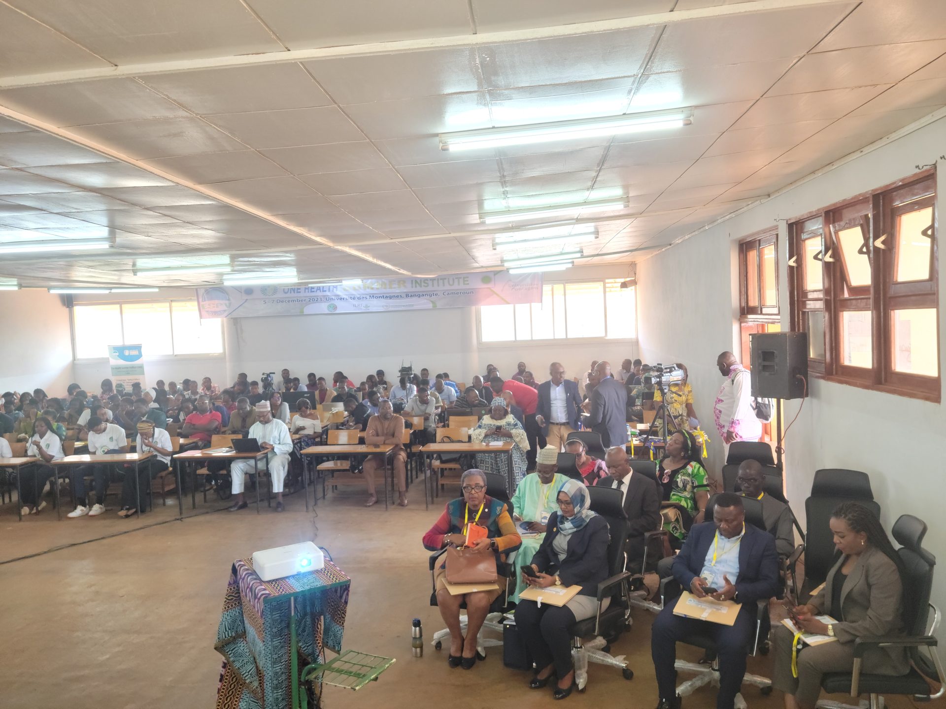
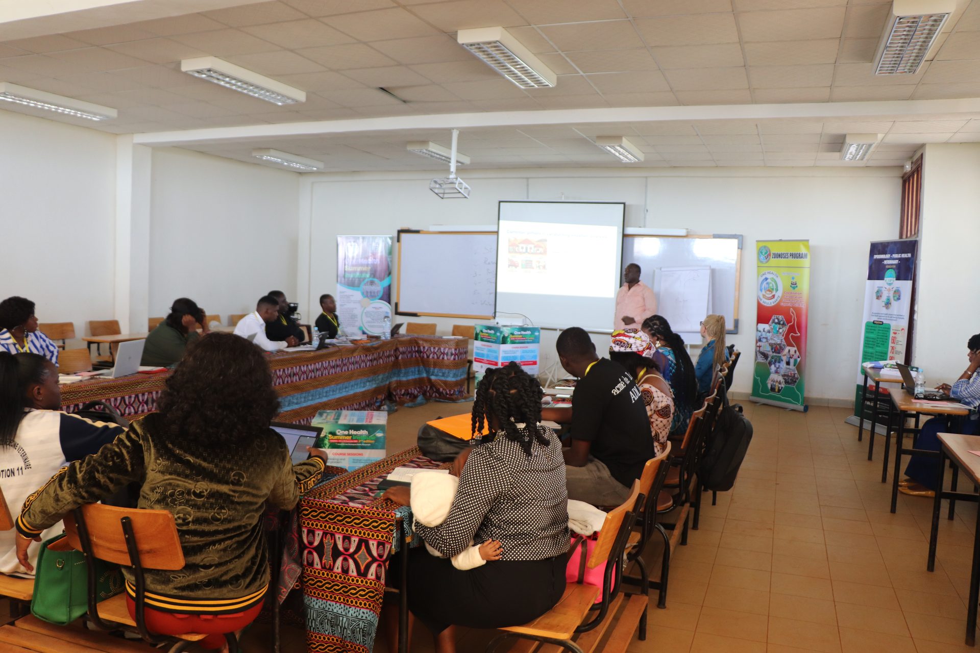
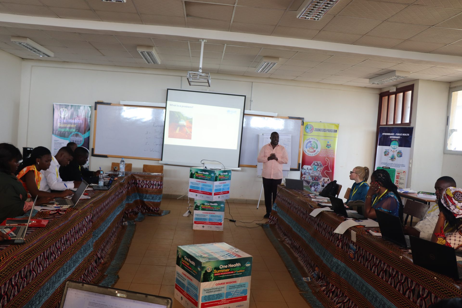
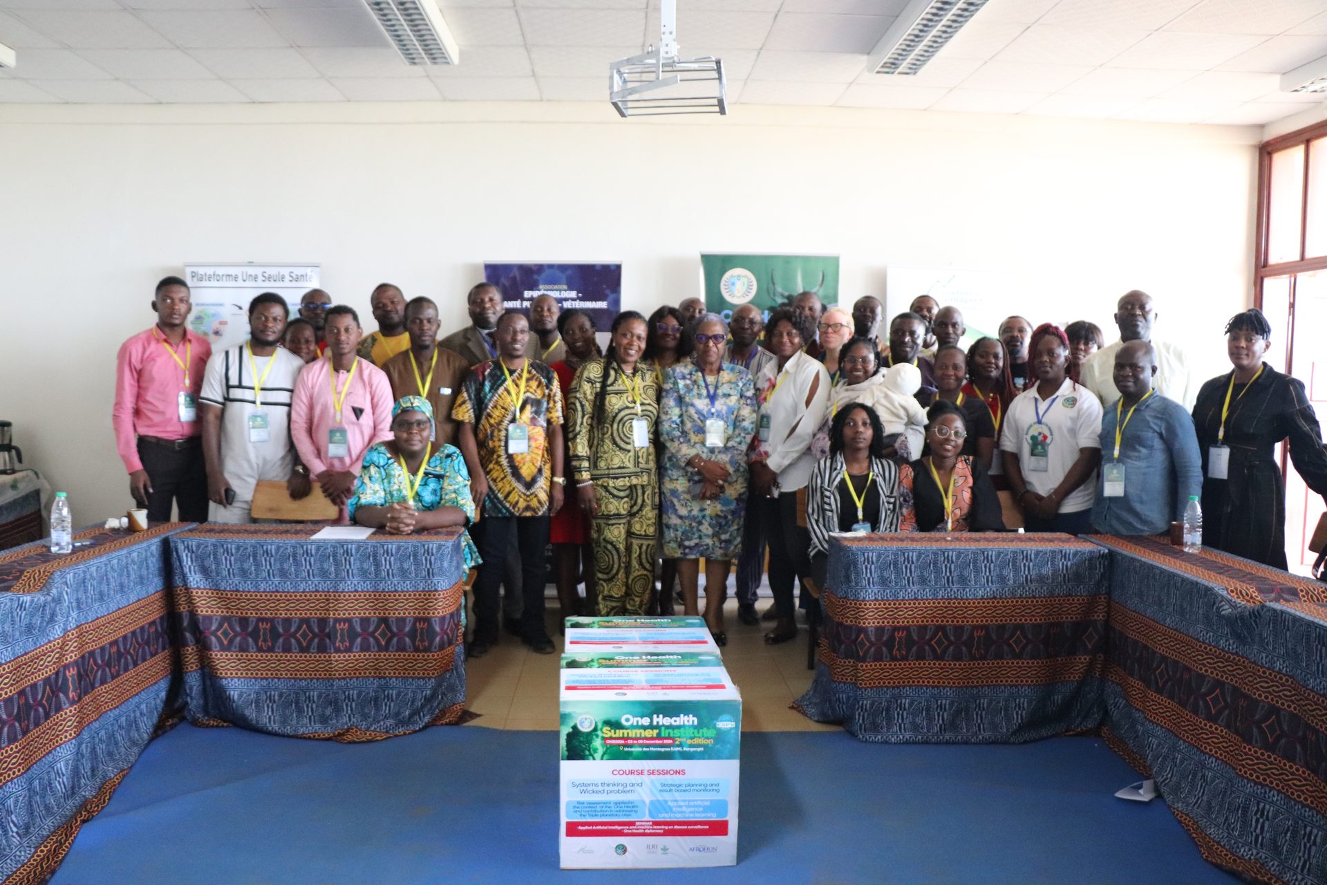
Previous Sessions